Toze Kangri Northeast Summit
Toze Kangri NE summit is at 34° 46' 25.6" N and 82° 21' 53.1" E. According to our GPS-measurements, the summit is about 6371 m high (plus/minus 10 m; on a Garmin GPS 60 and a Garmin Gecko 301). Base camp was in a gravel river bed at the end of the long west reaching glacier arm at an altitude of 5340 m.
On October 6th 2007 we attempted an ascent despite foggy weather in the morning. Lucky enough the weather cleared up and we had a great view as from the summit at 14:45 h. All four team members made it to the top.
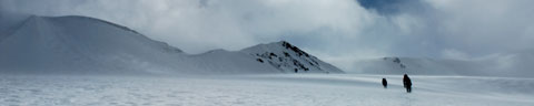 Across
the glacier to the NE-ridge. Westface with rocks in background.
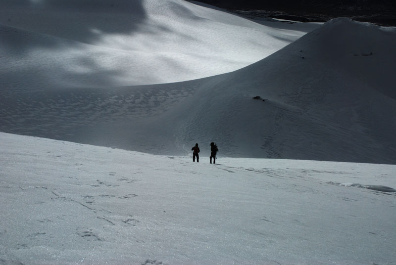
Across
the glacier to the NE-ridge. Westface with rocks in background.Technically, ascent to NE-summit of Toze Kangri is rather straight forward, involving long walks in snow and a snow-covered slope of about 35°. From base camp, we had to cover a one-way distance of 9 km and 1030 vertical meters. We chose a route that allowed us to walk on gravel and scree up to an altitude of about 6000 m, saving us from the demanding walk in deep snow instead. We then chose a direct route across the glacier to the wsst face up to the NE ridge. Following the ridge for the last few meters led us to the plateau shaped summit. Descent was via the nort ridge - thus we did the first transgression of the NE-summit.
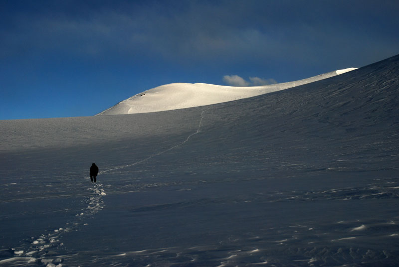
Ascent to NE-summit was achieved in a 15-hour day. Especially the deep snow passages were time and energy demanding.
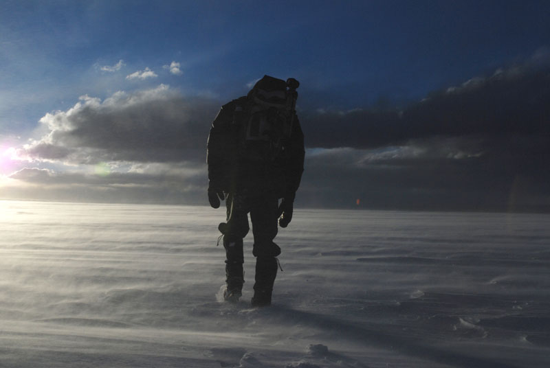
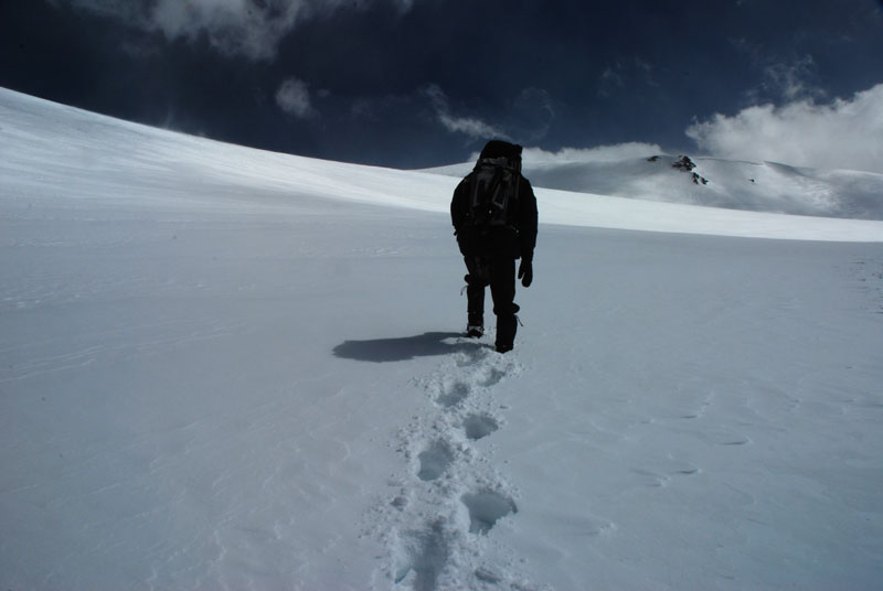 Strenous ascent in deep snow. |
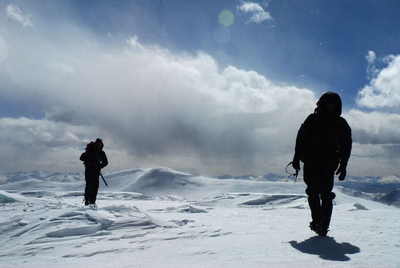 Last few meters on NE ridge. |
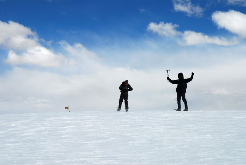 Chiru Horn and flag on NE-summit. |
 Descent over north ridge. . |
 Sunset on the glacier. . |
 The first few cm solid, then powder. |
Toze Kangri Info
Map
Small section of a map for orientation. more…
The Glacier
Every glacier has its special character. more…
Ascent to SW-Summit
SW summit is 6369 m high according to our measurements. more…
Ascent to NE-Summit
NE summit is 6371 m high according to our measurements. more…
Toze Pyramid
A smaller peak south of the main Toze Kangri massif with interesting geology. more…