Toze Kangri Glacier
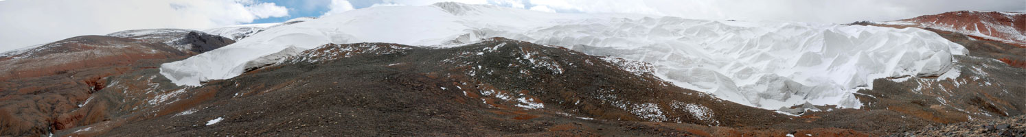 |
Toze Kangri range is covered by a typical plateau glacier present also on other mountains of the Chang Tang. There is no glacier snout - the glacier simply ends in an abrupt ice wall. The biggest glacier arm of Toze Kangri reaches down to an altitude of about 5400 m. It is a fusion of two glacier arms which flow quite far west from the main glacier plateau. In this high altitude, snow and ice sublimate, therefore there are no big melting waters.
The glacier ice and snow is continuously being formed by the constant strong winds, resulting in bizarre and impressive ice and snow formations.
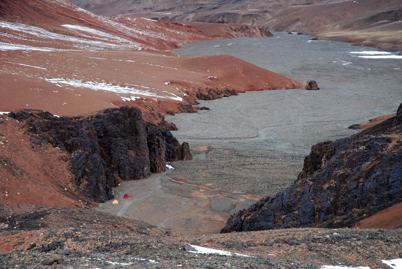 Riverbed to the glacier. Three tents in base camp. |
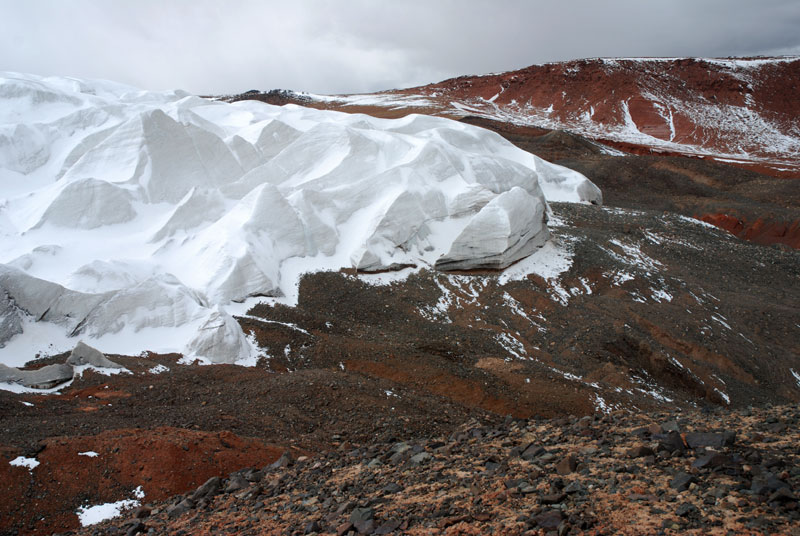 Small ice fall on the tip of the glacier. |
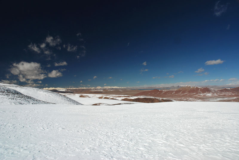
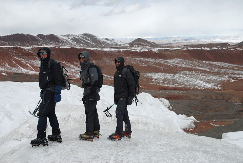 On the glacier. Rim of the valley in background. |
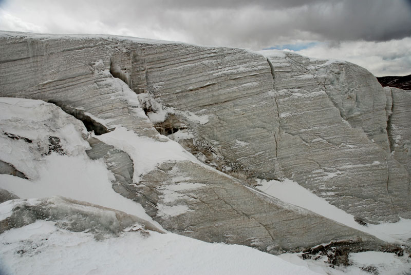 Bizarre ice formations. Wind erosion or seasonal layers? |
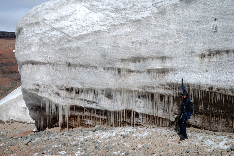 Icicles on glacier face; only melting processes we saw. |
 Old ice and sediments under the glacier. |
For ascent to the Toze Kangri summits we followed the northern glacier arm of the fusion glacier on the morain up to an altitude of at least 5600 m to pass a zone with crevasses. The southern glacier arm of the fusion glacier was not suitable for ascent due to the small ice fall and crevasses.
 Reconnaissance trip. |
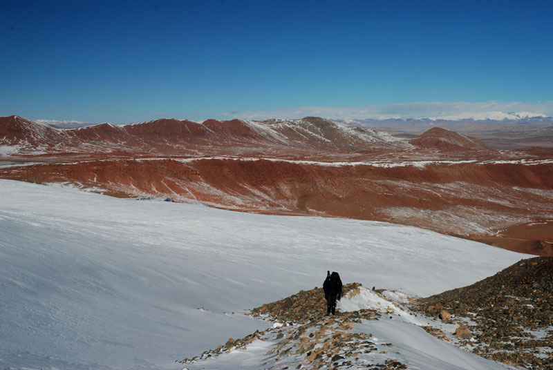 Ascent along the morain. |
 View to west with Pur Co. |
Toze Kangri Info
Map
Small section of a map for orientation. more…
The Glacier
Every glacier has its special character. more…
Ascent to SW-Summit
SW summit is 6369 m high according to our measurements. more…
Ascent to NE-Summit
NE summit is 6371 m high according to our measurements. more…
Toze Pyramid
A smaller peak south of the main Toze Kangri massif with interesting geology. more…